Dr. Tarendra Lakhankar’s research interests are interdisciplinary in nature, but broadly fall into the common theme of exploring the use of remote sensing and geographical information system (GIS) to solve problems in environmental engineering, water resources management, and other civil engineering areas.
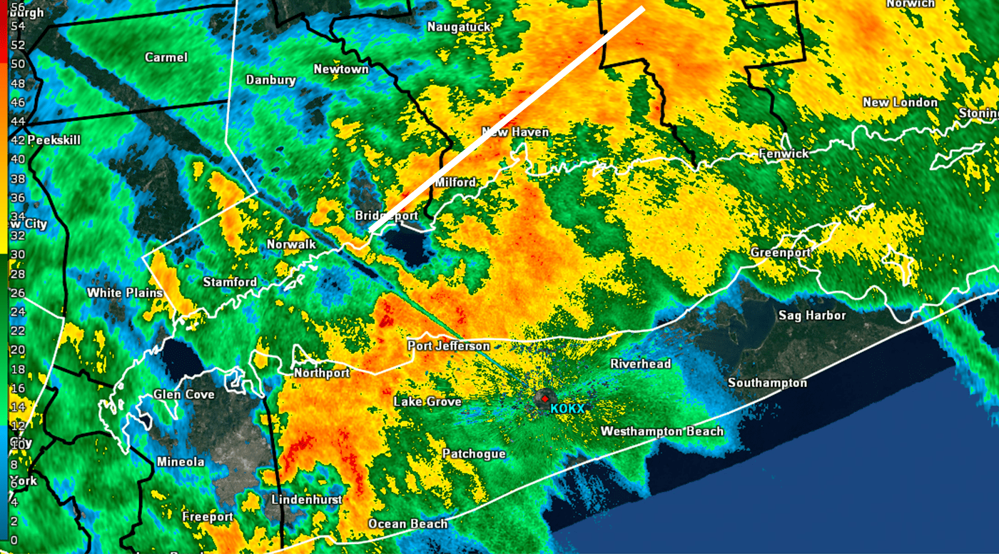
Leading the effort to develop Urban Hydro-Meteorological Testbed in New York City, through setting up several weather monitoring stations across the City. The Objective of this testbed will be:
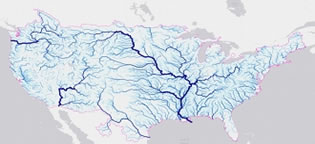
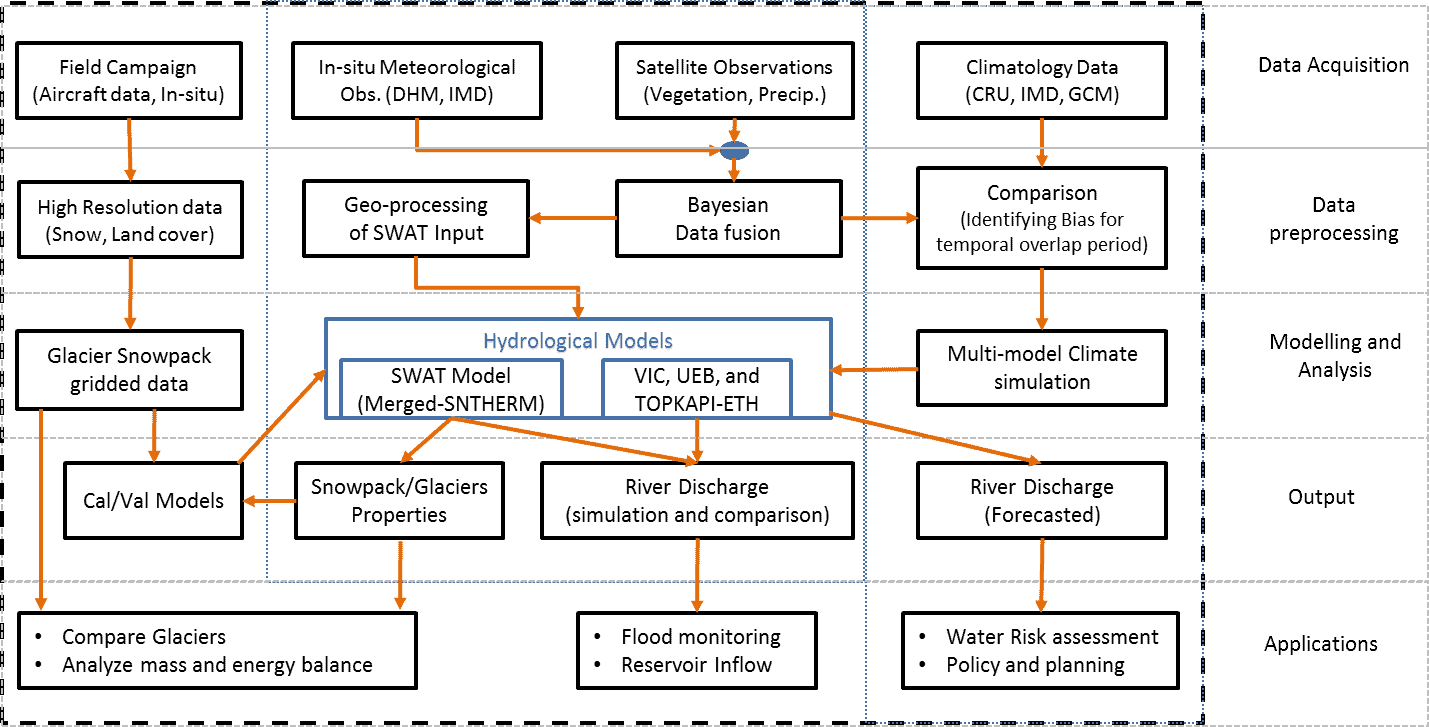
An integration of satellite observations into hydrological models is crucial for the future development of the National Weather Service (NWS) operational streamflow and flood forecast system. The National Water Model (NWM) is a hydrologic model that simulates current and forecast streamflow over the entire continental United States (CONUS). This task aims at improved understanding of physical processes represented in NWM and future model development. Under thus task, we will investigate the use of the Weather and Research Forecasting Hydrological modeling system (WRF-Hydro), which is the core of the NWM operated by the NOAA’s National Water Center (NWC), in simulating streamflow and major flood events caused by heavy rainfall and snowmelt. Moreover, we will integrate observations into models for a future/proposed NWS operational forecast system for Puerto Rico to improve flash flood guidance for Puerto Rico. This research would include assessing the efficacy and impacts of atmospheric forcings used to drive the NWM for both wet and dry extreme conditions and in monitoring and prediction to inform drought and flood risk management.
Current Student: Engela Staphit (PhD)
Graduated Student: Anthony Bravo (BS)
The CREST-Snow Analysis and Field Experiment (CREST-SAFE) is being carried out using dual polarized microwave (37 and 89 GHz) radiometers along with detailed synchronous observations of snowpack properties with an objective to characterize the behavior of snow-emitted mssssicrowave radiation throughout the winter season. The effect of snowpack temperature (related to dry and wet snow conditions) on the microwave brightness temperature will be examined and interpreted. I am principal investigator of this multi-institutional CREST-SAFE Experiment Website.
Graduated Students: Jessica Chiu (BS), Christine Chen (MS), Hiram Sanchez (MS), Jose Infante Corona (PhD), Carlos Perez (PhD) and Jonathan Munoz (PhD)
with Student: Dugwon Seo (PhD graduated), and Juan Mejia (MS)
– Evaluation of Operational National Weather Service Gridded Flash Flood Guidance
– Use of microwave soil moisture product to improve FFG System
– Validation of Gridded Flash Flood Guidance System by Statistical Analysis
This study proposed the value of remote sensing data in constraining the state of the system for main-steam and flash flood forecasting. The results from successfully developed technique implied potential improvement of flash flood forecast with SMOS and SMAP satellite sensors assimilation in hydrological modeling.
Soil Moisture Field Experiment (CREST-SMART)
Student: Laetitia Kumassi (MS graduated), Jonathan Nunez (MS Graduated).
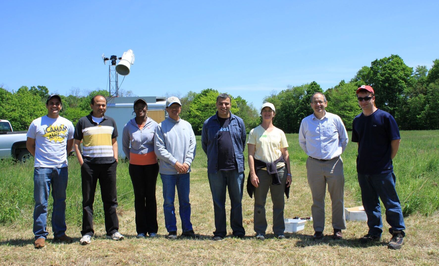
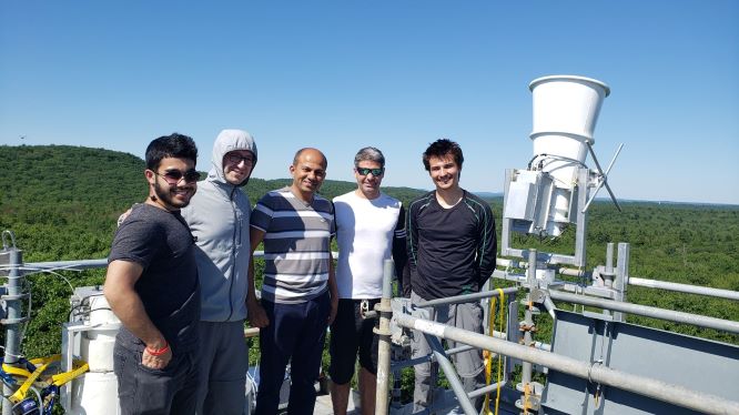
Field experiment is being performed in a grassland at the NOAA-CREST–Soil Moisture Advanced Radiometric Testbed (CREST-SMART) facility, which includes a mobile L-band dual-polarized radiometer with an in situ soil temperature and soil moisture observation network, located near Millbrook, NY. The research investigates changes in the performance of microwave soil moisture retrieval with diurnal soil temperature variations. Dr Lakhankar and CCNY Team participated in NASA field Campaign in carried out in Research facility in Millbrook NY and Harvard Forest, MA.
CREST-SMART Website
Other Documentation links:Link 1,

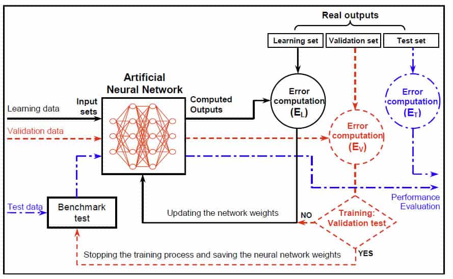
My doctoral research was focused on the application of Neural Network and Fuzzy Logic for retrieval of Soil Moisture using time series of microwave remote sensing data (RADARSAT-1). This study deals with the application of back-propagation neural network and fuzzy logic in estimating the surface soil moisture using Synthetic Aperture Radar (SAR) data and other impacted variables. In addition A multiple linear regression model has also been developed to establish the relationship SAR data and hydrological variables. The potential of SAR images in spatial soil moisture estimation depends on the ability of these algorithms to define the complex relationship that exists between the backscattered energy and the moisture content of the soil.
Lorem ipsum consectetur adipiscing the any adipiscing the consectetur the any ready to adipiscing adipiscing.
Email Us: infouemail@gmail.com
Contact: +5-784-8894-678
Subscribe to our newsletter to get our newest articles instantly!
Dr. Tarendra Lakhankar @2026. All Rights Reserved.